
























A client once asked us why we insist on a survey when the cadastre already shows the parcel in colour on a website. The answer is that the website shows where the parcel is supposed to be, and the surveyor shows where it is. On the Montenegrin coast, where boundaries follow old dry-stone walls and the land has been divided among families for generations, the difference between the two can be several metres, and several metres on a slope with a view is the difference between a pool and no pool. This guide explains what a survey includes and how it protects a buyer.
What does the cadastre record, and what does it not?
The cadastre records each parcel with a number, an area, a use category and an owner, drawn on the cadastral map. It is the legal record of what you are buying, and the title search that comes before any purchase starts there. What it does not record is the terrain: the slope, the rock outcrops, the levels, the position of the old wall that everyone treats as the boundary. The cadastral map was also drawn at different times and to different standards in different parts of the country, and the older sheets carry errors of position that a modern survey reveals.
A buyer therefore needs both: the cadastral extract for the legal position, and the survey for the physical one. Our why Montenegro page describes the title checks; this guide covers the survey.
Who carries out the survey?
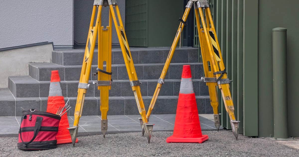
A licensed geodetic surveyor, working from the cadastral data, visits the parcel, finds or sets out the boundary points with a GPS instrument, measures the terrain and produces a plan that shows the boundaries, the levels and the features on the ground. The plan is the document the architect designs on and the document the cadastre accepts when the finished house is registered.
We commission the survey as soon as a client is serious about a plot and before any deposit, so that the design, the planning conditions and the budget all rest on measured facts. On the plots we list, such as the one at Kotor Bay, the survey is part of the file from the start.
What does the survey reveal that the map cannot?
The list from our own files is long, and the items that come up most often are:
- A measured area a little smaller or larger than the cadastral figure, which is normal and settled by the cadastral figure
- A boundary wall built a metre or two inside or outside the cadastral line
- A neighbour's shed, terrace or driveway crossing the boundary
- A public footpath or an old track that crosses the parcel and that people still use
- A watercourse or a culvert along a boundary, with rules about building near it
- Levels that show the parcel to be steeper than it looks from the road, which changes the groundwork
- Rock outcrops where the house was meant to stand
None of these is a reason to walk away on its own. Each is a fact to settle before the price is agreed and the contract signed, and some of them, such as a neighbour's terrace over the line, are far easier to settle while the seller still wants to sell.
How are the boundary points set out?
The surveyor computes the boundary points from the cadastral coordinates, locates them on the ground with the instrument and marks them with pegs or paint. Where the parcel adjoins neighbours, the neighbours can be invited to the setting out, and a boundary set out this way with the neighbours present is one that nobody later claims to have misunderstood.
In old settlements the surveyor will often find that the cadastral line and the wall disagree, and the question is which one governs. The answer depends on how the cadastre was established and on the history of the wall, and it is a question for the surveyor and the lawyer together. The buyer's interest is simply to know the answer before buying.
Why does the slope survey matter so much?
The planning conditions set a height limit counted from the terrain, and they set setbacks from the boundaries. On a slope, the terrain level at each corner of the house decides how many floors fit, and the boundary positions decide where the house can stand. Without a survey with levels, the architect is guessing at both, and the guess is corrected during the permit review, at which point the design is redone.
The survey with levels also tells the engineer how much cut and fill the house needs, and cut and fill in limestone is a large part of the groundwork cost. The plot that looks gently sloped from the road and turns out to drop ten metres across its width is a common story, and the survey tells it before the purchase instead of after. The role of the conditions is explained in our guide to the urbanistic technical conditions.
What if the parcel needs to be divided or merged?
Buyers sometimes want part of a larger parcel, or want to merge two small ones into a plot that allows a bigger house. Both are cadastral procedures that start with a survey: the surveyor draws the new parcel, the division or merger is approved under the planning rules, and the cadastre registers the new parcels. The planning conditions then apply to the new parcel, which may allow more or less than the old ones.
A division is not always permitted; the planning rules set a minimum parcel size in each zone, and a parcel below it cannot be created. The survey and the conditions together tell you whether the division you have in mind is possible before you agree to buy half a field.
How do access and easements show up in the survey?
The surveyor records the physical access to the parcel, the lane, the track, the gate, and the cadastre records whether that access is a public road, a separate parcel owned by someone else or an easement registered in the title. The two must match: a lane that exists on the ground but belongs to a neighbour with no registered right of way is a problem that the purchase must solve. Our guide to access roads and easements covers that question in full.
What should a buyer ask for?
A survey plan with boundaries and levels by a licensed surveyor, dated recently, with the boundary points marked on the ground; a note of any discrepancy between the measured and the cadastral area; a record that the neighbours were invited to the setting out where the boundaries were in doubt; and the surveyor's confirmation that the access shown matches the cadastre.
That is a short list, it takes days, and it removes most of the surprises that reach us from buyers who skipped it. If you have a plot in view, tell us the parcel number and we will arrange the survey as the first step; every plot on our listings already carries one.